
Realtime Sky Builder
Skies, clouds and weather you can direct shot by shot.
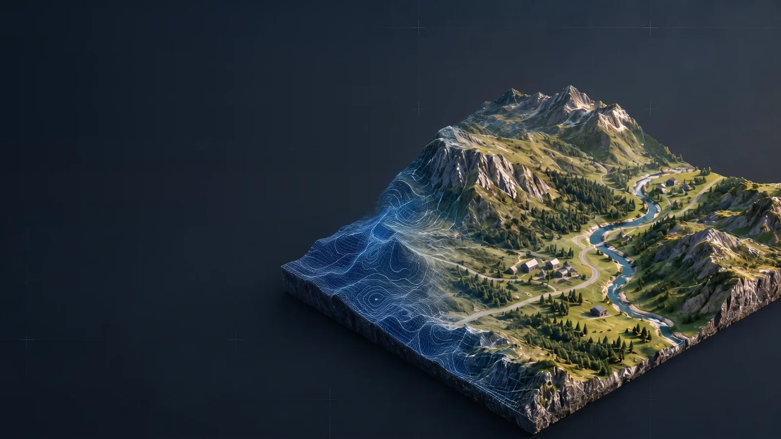
Real-world terrain, buildings and roads for Unreal Engine
Turn a real place into a true-scale Unreal landscape without leaving the editor. Search for a location, draw your area, and Earth To Landscape builds the terrain from real elevation data.
No API keys, no C++ to compile, no separate Python install and no GIS software.
Add satellite imagery, buildings and roads when you need them, or generate flow maps to drive your own landscape materials. Made for architects and archviz teams who need the real site and its surroundings, and for previs and environment work that has to match a real location.
This release supports Unreal Engine 5.8 on Windows 64-bit and was tested with UE 5.8.3. It is an editor tool, not a runtime downloader. Terrain imports require a non-World-Partition level.
Yes. Internet access is required for map viewing, place searches and data downloads.
No, the default elevation source does not require an API key. Data coverage, resolution and service availability vary by location.
Yes. With Terrain disabled, roads and buildings follow an existing, matching Earth To Landscape terrain without modifying its heights. If no terrain exists, they are generated on a flat plane. A manually created terrain without geographic metadata cannot be matched automatically.
Larger areas and dense road networks can take considerable time and memory. Merged roads are split into bounded meshes to reduce temporary memory usage, but the completed geometry still consumes memory. Road imports above 3 km per side display a warning, and download and geometry limits apply.
It requires Unreal's built-in Python Editor Script Plugin (beta), Editor Scripting Utilities, Geometry Scripting, Web Browser Widget, Sun Position, and Experimental Mesh Modeling Toolset (experimental). Geometry Scripting also enables Mesh Modeling Toolset (beta). These dependencies are enabled automatically with Earth To Landscape. Restart Unreal when prompted. No external Python installation is required.
England, and supported areas of the United States. Everywhere else uses Copernicus GLO-30.
Yes. It creates a normal Unreal Landscape, so you can sculpt, paint and edit it with the standard Landscape tools.
Skies, clouds and weather you can direct shot by shot.
Eight measuring and annotation tools that show up in your renders.
Fast, precise measuring in the Unreal Editor.
One email when something new ships. Nothing else.
Signups open soon.
You can unsubscribe at any time. We only use your email to send these updates.

